Under the Radar: Geophysical investigations of Permafrost, Snow, and Glaciers
Laura Thomson
(Queen's University)
Jan 23, 2024 3:30 PM
TSI Seminar
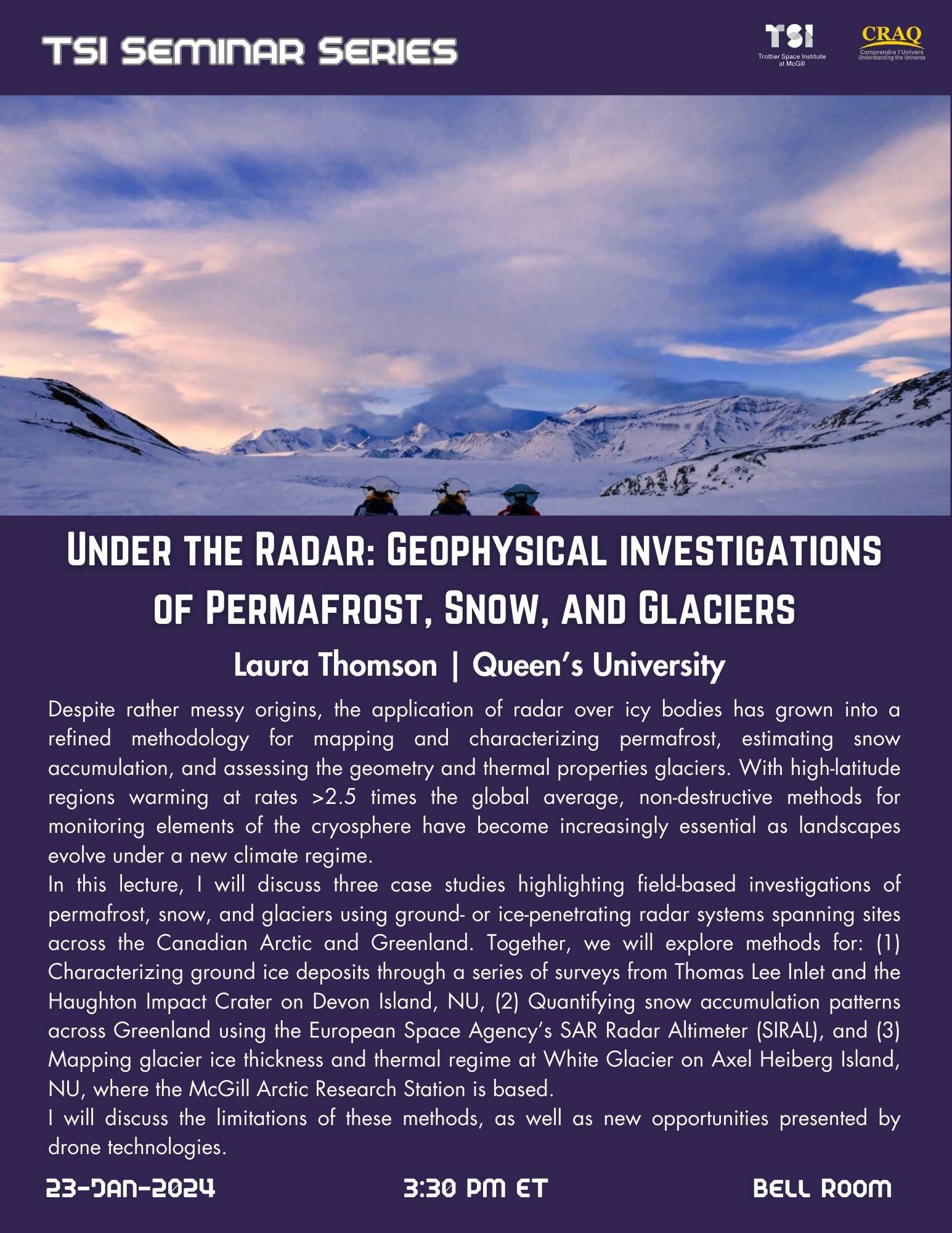
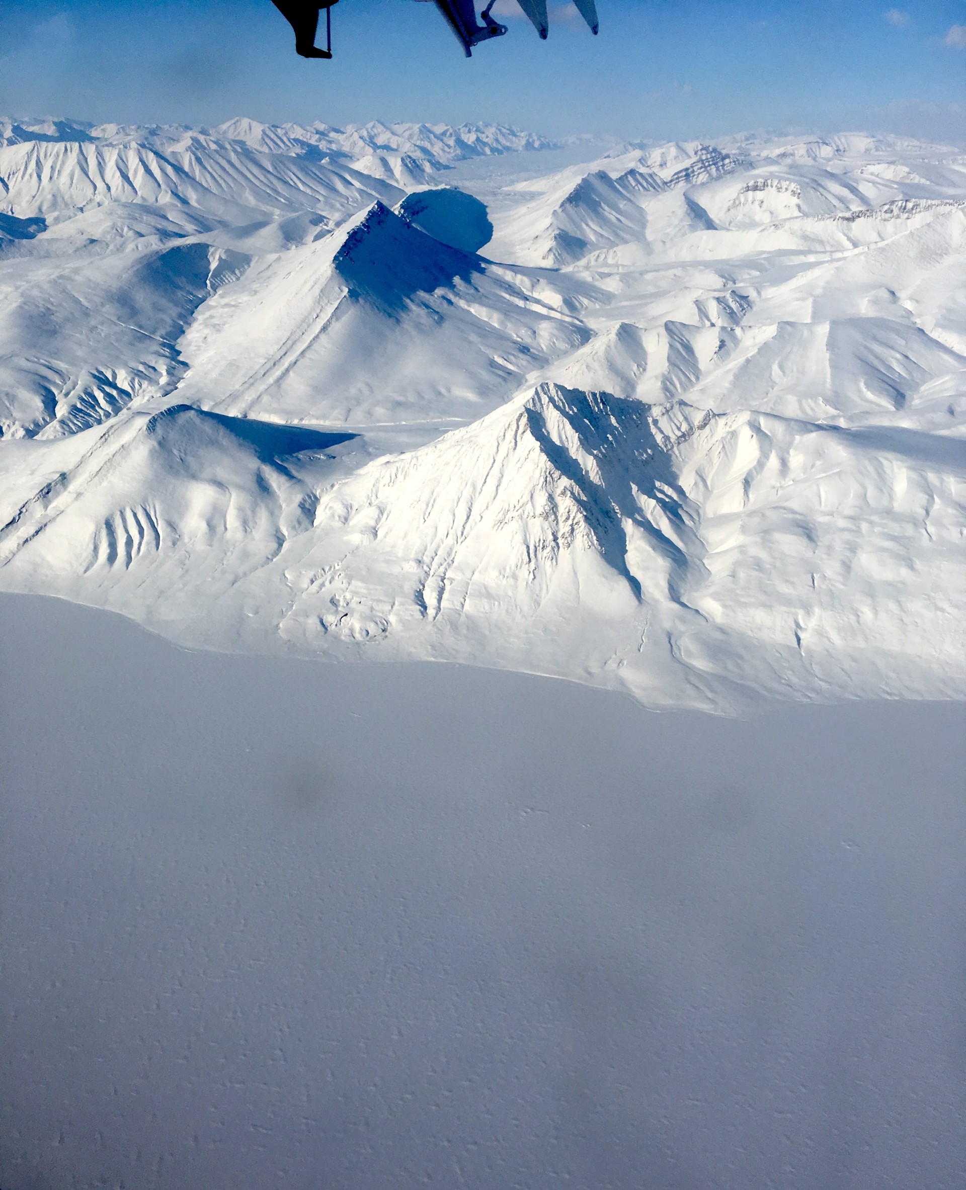
Despite rather messy origins, the application of radar over icy bodies has grown into a refined methodology for mapping and characterizing permafrost, estimating snow accumulation, and assessing the geometry and thermal properties glaciers. With high-latitude regions warming at rates >2.5 times the global average, non-destructive methods for monitoring elements of the cryosphere have become increasingly essential as landscapes evolve under a new climate regime. In this lecture, I will discuss three case studies highlighting field-based investigations of permafrost, snow, and glaciers using ground- or ice-penetrating radar systems spanning sites across the Canadian Arctic and Greenland. Together, we will explore methods for: (1) Characterizing ground ice deposits through a series of surveys from Thomas Lee Inlet and the Haughton Impact Crater on Devon Island, NU, (2) Quantifying snow accumulation patterns across Greenland using the European Space Agency’s SAR Radar Altimeter (SIRAL), and (3) Mapping glacier ice thickness and thermal regime at White Glacier on Axel Heiberg Island, NU, where the McGill Arctic Research Station is based. I will discuss the limitations of these methods, as well as new opportunities presented by drone technologies.

